Fleet operations
Define how dispatchers will use location and journey records. Set the reporting interval and access permissions to match the workflow.
Connect vehicle location needs with installation, dispatch workflows and your platform.
From one vehicle to a connected fleet.
Plan a custom solution ↗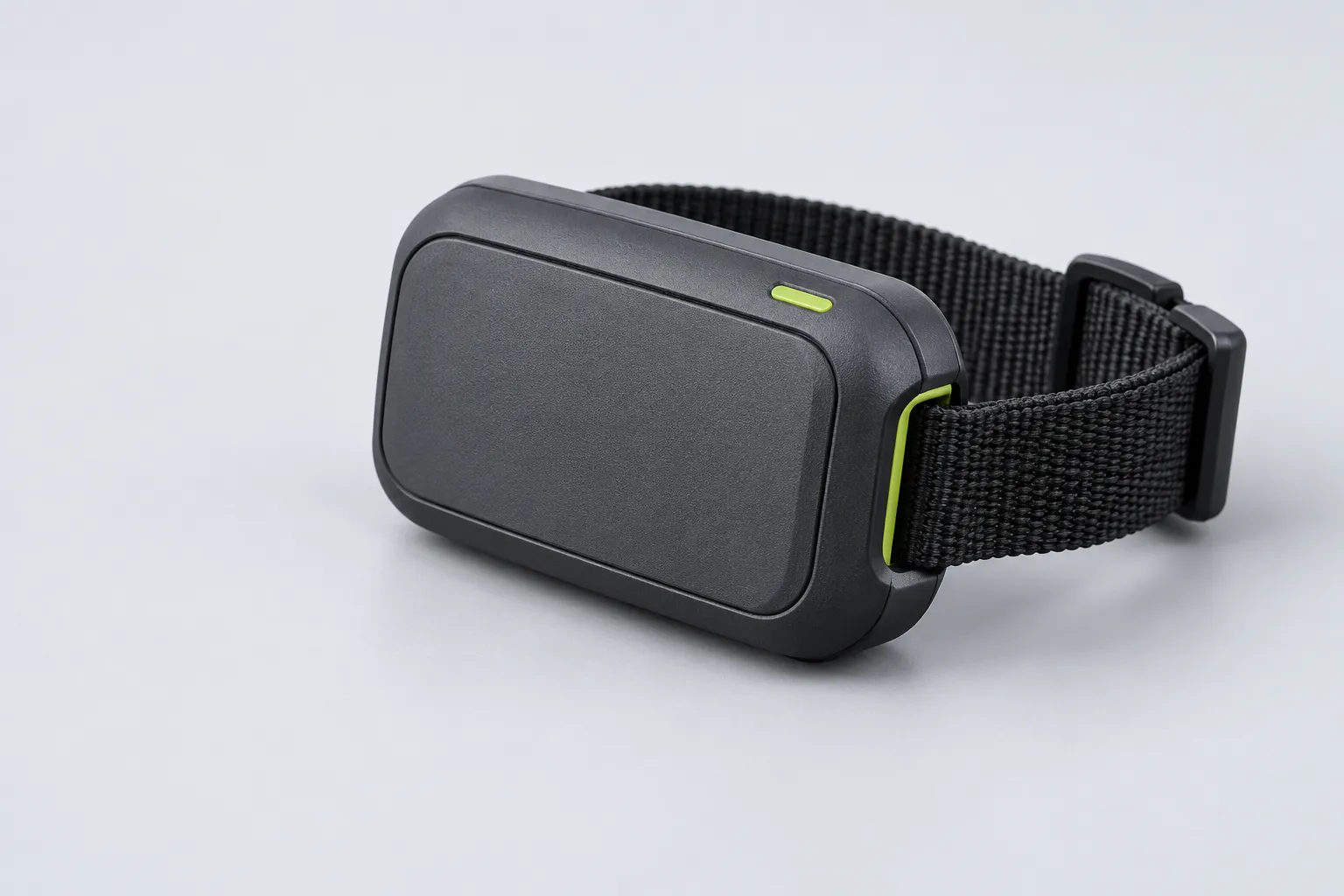
Preview catalog: device concepts and images are illustrative. Specifications, prices, availability and certifications require confirmation.
Define how dispatchers will use location and journey records. Set the reporting interval and access permissions to match the workflow.
Plan installation checks and device status checks at handover and return. Clarify driver notices, data access and retention for the project.
Specify the location visibility required for asset management. Confirm permitted use, installation responsibilities and the model’s actual capabilities.
GPS positioning does not transmit a location by itself. Cellular, LoRaWAN or satellite connectivity must be selected for the operating environment.
Read article ↗Check local coverage, supported bands and reporting frequency before choosing a device.
Confirm mounting, fit, enclosure protection and maintenance with the final hardware specification.
Confirm platform access, data ownership, integration protocol and recurring costs.
Customization may cover enclosure, branding, firmware and integration. Scope, minimum order and certification require review.
Plan a custom solution ↗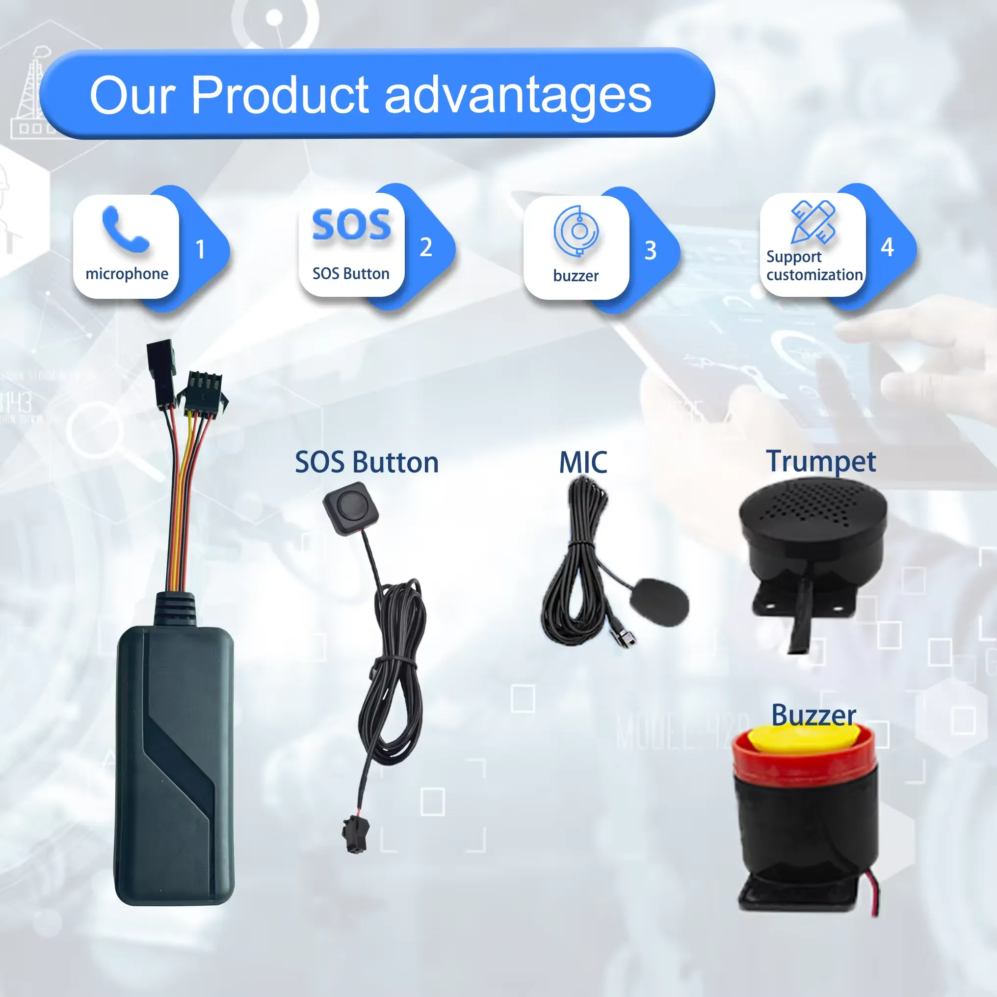 04 / GPS
Jinshengchang’s connected vehicle tracker combines satellite positioning, cellular connectivity and fleet-management software to help businesses monitor vehicles and review their operation. Supported configurations provide location updates, route history, ACC ignition status, geofence alerts and external-power disconnection notifications. Designed for wired vehicle installation, the solution can be adapted for commercial fleets, rental vehicles, logistics operations and equipment management. OEM/ODM services cover hardware, firmware, communication protocols and platform integration.
 06 / GPS
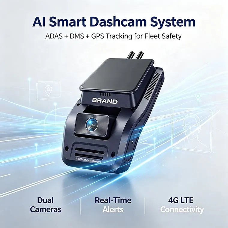
Jinshengchang’s 4G fleet dash camera solution combines vehicle video recording with GPS location data to support delivery operations and incident review. Depending on the selected configuration, fleet teams can access remote video, retrieve recorded clips and review journeys through a compatible management platform. The solution can be specified for delivery vans, service vehicles and commercial fleets, with hardware, firmware and platform integration tailored to project requirements.
 Journal / 01
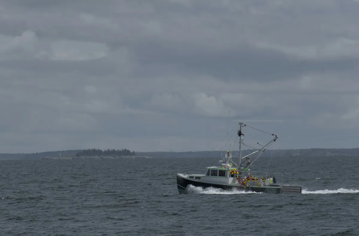
A location fix is only the beginning. Understand how that position reaches your screen, from pasture to open water.
Read articleJournal / 03A useful customization project starts with the problem, not the enclosure. Bring the operating conditions into the first conversation.
Read articleA practical approach to your GPS project.
Explore vehicle, pet, personal, livestock and marine tracking in one place. Start with your setting and select the product direction that fits your application.
ProductsConsider the device, connectivity and platform as one project. Put data access, integration requirements and recurring costs into the discussion from the start.
Read articleBring your branding, enclosure, firmware or integration requirements into a structured OEM conversation. Scope, feasibility and minimum quantities are agreed for the project.
Plan a custom solutionUse a sample or pilot to evaluate coverage, installation and alerts in the intended environment before planning a wider deployment.
SolutionsGPS receives positioning signals. Sending that position to an app requires a separate connection, such as cellular, LoRaWAN or satellite, depending on the device.
Cellular service depends on local coverage. Offshore use may require satellite communication; GPS alone cannot send a location ashore.
Reporting interval, signal strength, temperature and battery capacity all matter. Ask for measurements under your actual usage conditions.
Prepare your target market, connectivity, enclosure, quantity and integration requirements. Feasibility, minimum order and certification need project-specific confirmation.