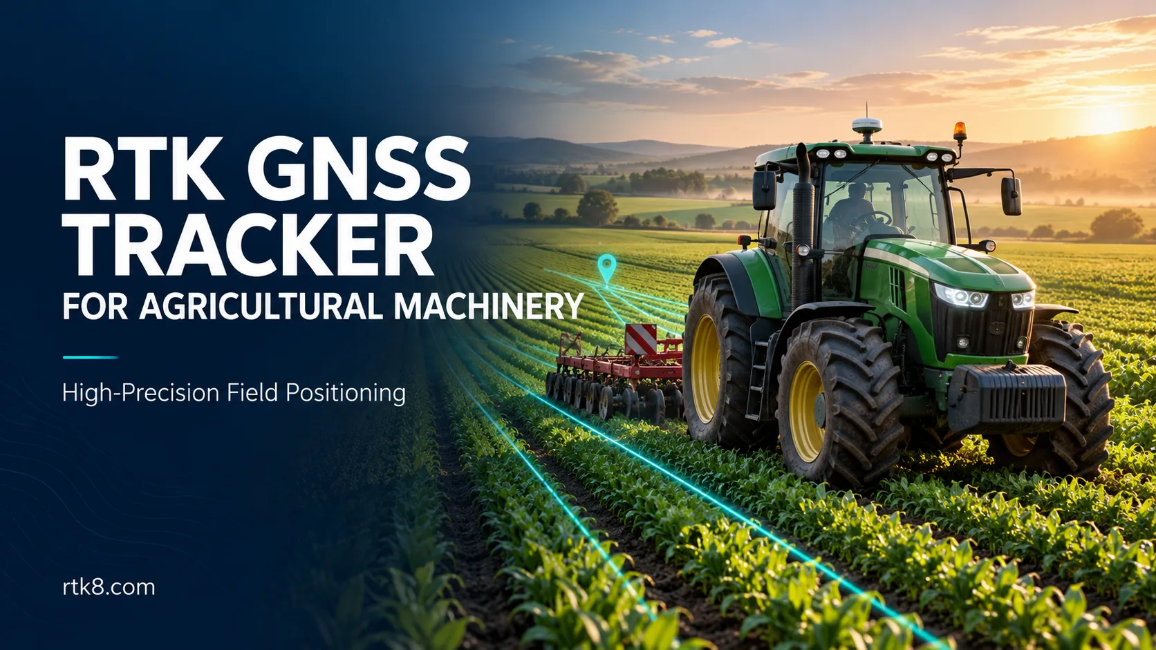
RTK GNSS Tracker for Agricultural Machinery: High-Precision Positioning for Field Operations
Knowing which field a tractor entered is useful. Understanding the path it followed, where it stopped and whether its position remained suitable for detailed analysis requires more information.
An RTK GNSS tracker for agricultural machinery combines a high-precision positioning receiver with correction-data integration and equipment communication. It can support detailed field-operation records for tractors, harvesters, agricultural transport vehicles and other outdoor machinery.
For equipment manufacturers and agricultural technology providers, the product should be designed around the complete workflow: receiving corrections, calculating positions, reporting quality information and presenting usable records on a platform.
What Is an RTK GNSS Tracker for Agricultural Machinery?
An RTK tracking terminal uses satellite observations together with compatible correction data to calculate a more precise position.
RTK uses carrier-phase measurements and resolves ambiguities to obtain a fixed solution. Under suitable conditions, this can provide centimeter-level positioning. Performance depends on correction availability, satellite visibility, antenna installation and the complete system design.
A complete agricultural tracking project may include:
- An RTK-capable GNSS receiver.
- A compatible external GNSS antenna.
- A correction source and communication path.
- An equipment-compatible power supply.
- Cellular or another suitable reporting connection.
- Local data storage.
- A field-operation management platform.
These components must work together. Installing an RTK receiver alone does not establish the final positioning performance.
Product Functions to Define Before Development
The following functions can form the specification for an OEM project. Availability depends on the selected hardware and agreed development scope.
| Product function | Purpose |
|---|---|
| RTK-capable positioning | Obtain detailed outdoor position records |
| Correction-data integration | Deliver compatible corrections to the receiver |
| Position-quality reporting | Distinguish fixed, float and other positioning states |
| 4G communication | Upload records and support remote management |
| Local storage | Retain selected records during reporting interruptions |
| Equipment-status input | Associate location with a validated operating signal |
| Field geofences | Organize activity by agricultural site |
| API integration | Connect tracking records with farm management software |
Specify which functions are essential for the first deployment and which can be added later.
Keep Positioning and Data Reporting Separate
A receiver may calculate positions frequently while the platform receives less frequent updates.
For example, an application might require a detailed local trajectory but only periodic map updates. Another project may need a live position stream for an operator display.
Define three rates separately:
Position calculation rate: How often the receiver produces a position.
Local recording rate: How often the terminal stores a record.
Platform reporting rate: How often information reaches the server.
The final design must preserve enough detail for the intended analysis. A high calculation rate does not help a route report if most records are discarded before storage or transmission.
Plan the RTK Correction Source
The terminal needs compatible correction information throughout the intended operating area.
A project can evaluate a local reference station or an available network correction service. Where supported, an NTRIP client can receive correction streams through an internet connection.
Before deployment, confirm:
- Correction-service coverage.
- Receiver and correction-format compatibility.
- Required credentials and service terms.
- Cellular availability across the fields.
- Correction interruption behavior.
- Coordinate reference frame.
The receiver’s reported position is tied to the reference information supplied by the correction source. Coordinate systems therefore need to be considered when combining RTK records with field boundaries or other spatial data.
Display Position Quality Alongside Coordinates
A platform should show when the terminal has a fixed solution and when positioning quality changes.
Useful record fields include:
- Position timestamp.
- Latitude and longitude.
- Position validity.
- RTK solution state.
- Receiver-reported accuracy estimate.
- Correction age, where available.
- Device communication status.
An accuracy estimate is useful diagnostic information, but it is not an independent measurement of actual error.
Keep lower-quality sections identifiable in route history. Otherwise, an operator may interpret an entire journey as having the same precision even when corrections were interrupted.
Use Detailed Tracks for Field-Operation Records
High-precision tracks can support reviews of machinery movement, field visits and work patterns.
However, movement inside a field does not automatically establish productive agricultural work.
A tractor might cross a field while transporting equipment, turn at a headland or wait with its engine running.
For a useful operation report, combine location with suitable context:
- Assigned field and task.
- Machine and operator identity.
- Implement type.
- Working width.
- Validated work-state input.
- Position-quality rules.
- Start and completion confirmations.
These inputs help distinguish travel, waiting and active work.
Calculate Coverage with Implement Geometry
An RTK antenna reports the position of its own reference point. That point may be several metres away from the implement performing the work.
Coverage calculations should account for the antenna’s mounting location, implement offset, working width and repeated passes.
For a turning or articulated implement, a fixed offset may be insufficient.
A simple trajectory length multiplied by nominal width can overstate worked area when routes overlap or the implement is inactive. Define the calculation method and validate it against a suitable reference before presenting area totals as operational results.
Choose the Antenna Position Carefully
Agricultural machinery creates practical installation challenges.
Cab roofs, metal structures, nearby electronics, vibration and changing equipment configurations can affect the finished system.
The installation assessment should cover:
- A suitable view of the sky.
- Antenna and receiver compatibility.
- Secure mounting.
- Cable routing and connector protection.
- Separation from interference sources.
- Antenna offset from the required measurement point.
- Performance with machinery operating normally.
Test the terminal on the actual machine. Results from a stationary bench setup do not establish performance during field operation.
Design for Power Changes and Communication Gaps
Agricultural machines start, stop and remain parked between jobs. The tracking terminal needs a defined response to those conditions.
Confirm the equipment supply, electrical protection and shutdown behavior.
If local storage is required, specify how records are timestamped, retained and uploaded after reconnection. Delayed uploads should preserve their original measurement times.
Also distinguish two interruptions:
Reporting interruption: The terminal cannot upload records to the platform.
Correction interruption: The receiver no longer receives usable RTK corrections.
Local storage can preserve data during a reporting outage. It does not restore the RTK precision of positions calculated without adequate corrections.
Tracking and Automatic Steering Have Different Requirements
A terminal used to record field operations does not automatically provide an automatic-steering system.
Steering requires additional integration, control logic, timing, machine interfaces and validation. Implement control may require further sensors and application-specific functions.
Define the intended product role before development: monitoring, operator guidance, machine control or another application.
This gives the hardware and software teams a clear performance target.
Validate the Product in Representative Fields
A pilot should test both positioning performance and the usefulness of the resulting reports.
Include open fields, headland turns, nearby trees, correction interruptions and normal equipment power cycles.
Record:
- Time to obtain a usable RTK solution.
- Fixed-solution availability.
- Horizontal error against an appropriate reference.
- Recovery after correction loss.
- Local recording completeness.
- Platform reporting delay.
- Coverage-report agreement with the chosen reference.
Define how errors are summarized. A best-case stationary result should not represent performance throughout an entire working route.
OEM RTK Tracking Development with Jinshengchang
Shenzhen Jinshengchang Technology Co., Ltd. can evaluate a custom RTK tracking project around the machine, correction source and required software workflow.
For a technical assessment, provide:
- Machinery type and installation photographs.
- Operating countries and field conditions.
- Required positioning performance.
- Correction-service availability.
- Equipment supply and interface documentation.
- Recording and reporting requirements.
- Platform or API specifications.
- Prototype quantity and estimated production volume.
Explore the RTK8 product range to discuss hardware selection and customization requirements.
Frequently Asked Questions
Does an RTK tracker always provide centimeter-level accuracy?
No. Actual performance depends on solution state, corrections, satellite reception, installation and other operating conditions. Verify performance through representative testing.
Can the terminal work without cellular coverage?
It depends on the system architecture. Local recording may continue, but an internet-delivered correction service may become unavailable. An alternative correction link requires its own design.
Can GPS tracks calculate cultivated area automatically?
They can support the calculation, but reliable results also need implement geometry, working-state information and overlap handling.
Is one antenna enough to determine heading while stationary?
A conventional single-antenna position solution does not by itself establish the machine’s stationary heading. That requirement may need a suitable dual-antenna system or another validated orientation source.
Can an existing vehicle tracker become an RTK product through a firmware update?
Only if its hardware already supports the necessary measurements and processing. Many projects require a different receiver, antenna arrangement and correction-data integration.