RTK GPS Tracker for Yard Vehicles: High-Precision Positioning for Ports and Logistics Sites
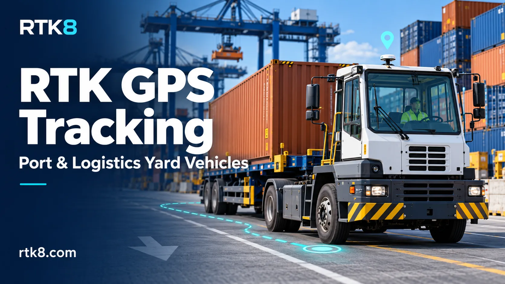
A yard tractor moves between container rows. A service vehicle stops beside a loading lane. A terminal operator needs to identify which operating area a vehicle entered and how long it remained there.
Ordinary location tracking can provide general visibility. However, closely spaced lanes and work zones may require more precise positioning and clearer information about location quality.
An RTK GPS tracker for yard vehicles combines high-precision GNSS positioning with communication and fleet-management functions. For ports, distribution centers and outdoor logistics terminals, the objective is to produce location records detailed enough to support practical operational decisions.
What Is an RTK GPS Tracker for Yard Vehicles?
An RTK vehicle tracker uses a compatible GNSS receiver and correction data to calculate a high-precision position.
A typical solution includes:
- An RTK-capable GNSS receiver.
- A suitable external GNSS antenna.
- Access to compatible correction data.
- A communication connection for platform reporting.
- Vehicle power integration.
- Software that displays position quality and operating history.
RTK positioning can provide centimeter-level performance under suitable conditions. Actual results depend on the receiver, correction service, antenna installation, satellite visibility and surrounding environment.
For a yard deployment, performance must be verified on the actual operating routes.
Which Vehicles Can Use the Solution?
Potential applications include:
| Vehicle type | Tracking objective |
|---|---|
| Yard tractors | Review movement between handling areas |
| Terminal service vehicles | Monitor access to designated work zones |
| Outdoor forklifts | Review routes and time spent in operating areas |
| Maintenance vehicles | Associate visits with equipment locations |
| Logistics shuttles | Analyze travel between loading and staging points |
The requirements differ by vehicle.
An outdoor forklift working beside tall racks faces different reception conditions from a service vehicle operating across an open storage area. A single accuracy claim should not replace application-specific testing.
Separate Positioning from Data Communication
RTK positioning and platform communication perform different jobs.
The GNSS receiver calculates the position. Correction data supports the high-precision solution. A communication link sends positions and status information to the management platform.
Correction data may arrive through an internet-based service or a local base-station arrangement, depending on the system design.
A 4G connection can support correction delivery and reporting, but cellular connectivity alone does not create RTK accuracy.
Likewise, a tracker can remain online while its position quality deteriorates. The interface should display communication status and positioning status separately.
Why Ports and Container Yards Need Field Testing
Container yards contain large reflective metal surfaces and frequently changing obstacles.
Stacked containers, cranes, buildings and vehicle structures can obstruct direct satellite signals or create reflected paths. These conditions can affect positioning availability and reliability.
A useful site trial should cover:
- Open operating lanes.
- Routes beside stacked containers.
- Loading canopies and building entrances.
- Crane operating areas.
- Parking and maintenance zones.
- Transitions between open and obstructed locations.
Test under representative container layouts and operating conditions. Results from an empty yard may not describe performance during normal service.
Show RTK Status Alongside the Position
A vehicle marker should not imply that every point has the same accuracy.
Depending on the receiver interface, the platform can display:
- RTK fixed status.
- RTK float status.
- Standalone GNSS status.
- Invalid or unavailable position.
- Correction age.
- Position timestamp.
- Receiver-reported uncertainty.
RTK status provides useful context, but it should be evaluated alongside measured performance.
If positioning degrades, the platform should make that change visible. Continuing to draw a precise-looking route without a quality indication can mislead operators.
Define the Point Being Tracked
The GNSS position normally refers to the antenna’s reference point. It does not automatically describe the vehicle’s front bumper, center or complete footprint.
This matters near narrow lanes and work-zone boundaries.
For a yard tractor, the antenna may be mounted on the cab while the trailer extends several meters behind it. An antenna remaining outside a zone does not establish that every part of the vehicle combination is outside.
Projects requiring vehicle-footprint calculations need additional information, such as dimensions, orientation and articulation behavior.
State the tracked reference point clearly before defining geofences or operational rules.
Plan Antenna Installation as Part of the Product
A suitable receiver can underperform when paired with a poor antenna installation.
Evaluate the antenna’s sky view, mounting surface, nearby obstructions, cable route and mechanical protection.
For yard vehicles, consider whether roof equipment, lifting structures or cargo can block the antenna during normal operation.
The final installation should also allow practical maintenance. A damaged cable or loose connector can reduce performance even when the tracker continues communicating.
Follow the selected antenna and receiver manufacturer’s installation guidance rather than applying one mounting rule to every product.
Design Useful Yard Reports
High-precision coordinates become more valuable when connected to an operational question.
Potential reports include:
Operating-Zone Visits
Record entry, exit and dwell time in loading, staging and maintenance areas.
Route History
Review the paths taken between work locations, with degraded-position segments identified.
Waiting Time
Measure time spent in a defined queue area using documented movement and zone rules.
Positioning Availability
Summarize how often the system met the agreed positioning-quality requirement.
Communication Gaps
Show periods when the platform did not receive updates, separately from periods of degraded GNSS positioning.
These reports should distinguish observed data from inferred activity. A vehicle stopping beside a loading point does not, by itself, prove that loading occurred.
Evaluate Performance Beyond the Best Accuracy Result
A strong pilot report should include more than the smallest position error observed.
Agree on:
- The reference method used to measure error.
- Performance across representative routes.
- The proportion of time meeting the required accuracy.
- Time to obtain and recover an RTK solution.
- Behavior during correction interruptions.
- Platform update delay.
- Handling of invalid and delayed records.
An accurate local position can still appear late on the dashboard. Position accuracy and information freshness should therefore have separate acceptance criteria.
Routine tracking also should not be treated as a validated collision-avoidance system. Safety functions require their own system design and verification.
OEM RTK Vehicle Tracker Development
An OEM project can define the tracker around the vehicle fleet and site infrastructure.
Items to specify include:
- GNSS receiver and antenna arrangement.
- Correction-data source.
- Deployment country and cellular bands.
- Vehicle power supply and ignition inputs.
- Reporting frequency.
- Supported protocol and diagnostic fields.
- Enclosure, connectors and mounting.
- Platform and API requirements.
- Branding and production quantity.
For an RTK8 project enquiry, provide a yard layout, representative vehicle types, installation photographs and the operational decisions the system must support.
A useful RTK yard-tracking solution combines accurate positioning with visible quality information, reliable reporting and acceptance tests based on the actual worksite.