Knowing which construction site a machine occupies is useful. Knowing its movement within that site can support a different level of operational analysis.
Excavators, rollers, agricultural machines and service vehicles may work repeatedly within a small area. A conventional fleet map can show their general location, but some projects require more detailed movement records.
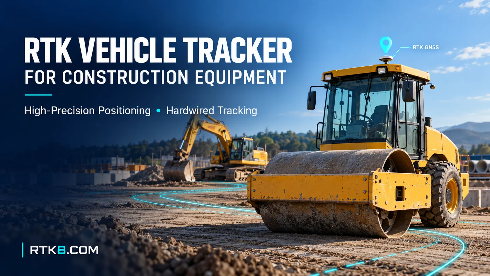
An RTK vehicle tracker for construction equipment combines high-precision GNSS positioning with vehicle tracking and data communication.
Selecting one requires more than checking a centimeter-level accuracy claim. The complete system includes the receiver, antenna, correction source, power supply and management platform.
What Is an RTK Vehicle Tracker?
An RTK vehicle tracker uses Real-Time Kinematic GNSS positioning to improve location accuracy through carrier-phase measurements and compatible correction data.
A practical installation typically includes:
- An RTK-capable GNSS receiver.
- A suitable GNSS antenna.
- A correction-data source.
- A communication connection.
- Vehicle-compatible power circuitry.
- A platform that records position quality.
Corrections may come from a local base station or a supported network service. NTRIP is one method used to access reference-station or network RTK corrections over an IP connection.
The tracker must receive usable corrections and maintain suitable satellite observations. A working cellular connection alone does not establish that RTK positioning is active.
When Does Construction Equipment Need RTK?
Start with the operational question.
If the task is simply to locate a missing machine across several sites, ordinary GNSS tracking may be sufficient.
RTK becomes worth evaluating when the project needs to distinguish movement within a smaller working area, compare repeated passes or record more precise outdoor trajectories.
| Application | Reason to evaluate RTK | Additional requirement |
|---|---|---|
| Roller movement records | Compare repeated paths across a work area | Appropriate update rate and accurate site coordinates |
| Agricultural machinery tracking | Review repeated field trajectories | Reliable corrections throughout the operating area |
| Equipment movement analysis | Distinguish nearby outdoor paths | Consistent antenna installation and position-quality records |
| Survey support vehicles | Associate observations with precise positions | Compatible reference system and timestamp handling |
| Narrow outdoor operating zones | Evaluate position relative to defined boundaries | Validated maps, uncertainty handling and alert rules |
Tracking a roller’s path does not independently measure compaction quality. Tracking an excavator’s antenna does not directly establish the bucket position.
Those applications require additional measurements and system design.
Why Choose a Hardwired RTK GPS Tracker?
Construction machines often have an electrical supply available during operation.
A hardwired RTK GPS tracker can use that supply for frequent positioning and data transmission, reducing dependence on manual charging.
However, electrical compatibility needs careful review.
Confirm:
- Supported input-voltage range.
- Protection against expected electrical disturbances.
- Reverse-polarity protection.
- Parking-mode current consumption.
- Ignition-input configuration.
- Behavior during engine starting.
- Operation after the battery isolator is switched off.
- Backup-battery availability, if required.
Continuous vehicle power can support a demanding operating profile, but the tracker should still manage energy use when equipment remains parked.
RTK Fixed, RTK Float and Ordinary GNSS Are Different
A platform should identify the positioning solution behind each coordinate.
Typical states include standalone GNSS, differential positioning, RTK float and RTK fixed.
An RTK fixed solution indicates that the receiver has resolved the carrier-phase integer ambiguities. It is an important quality indicator, but it should not be treated as an unconditional accuracy guarantee.
Receiver documentation describes circumstances in which even a fixed-integer solution can become less accurate than normally expected, including poor satellite geometry.
For equipment tracking, retain the solution type alongside coordinates. Where supported, also record estimated uncertainty, correction age and position time.
A report that clearly marks degraded positions is more useful than a smooth-looking route with no quality information.
Plan the Correction Source Before Ordering Hardware
An RTK receiver needs a correction arrangement suitable for the deployment.
Local RTK Base Station
A local base station may suit a managed construction site or farm.
Its antenna position, coordinate reference, power supply and correction link all need planning. Absolute rover accuracy also depends on the accuracy of the base coordinates.
Network RTK Service
A network service may suit equipment operating across several covered locations.
Confirm geographic coverage, receiver compatibility, service access and the communication conditions along the working routes.
Correction Transport
Confirm the complete path from the correction source to the receiver.
Do not assume that a radio link used for occasional tracking reports can also carry the required correction stream. Capacity, latency, regional requirements and protocol compatibility must be assessed separately.
Antenna Placement Affects the Result
The receiver measures the position of the antenna reference point.
On construction machinery, that point may sit several meters from the part of the machine that matters operationally.
For example, a roof-mounted antenna on an excavator does not directly measure the bucket tip. Machine rotation, arm movement and antenna offsets require additional sensing and geometric calculations.
During installation, evaluate:
- Sky visibility.
- Obstruction by booms or metal structures.
- Reflections from nearby surfaces.
- Antenna mounting stability.
- Cable routing and protection.
- Receiver-specific antenna requirements.
- The offset between the antenna and the desired reporting point.
Record the mounting arrangement so that different machines produce interpretable results.
Can an RTK GPS Tracker Include Fuel Monitoring?
An RTK GPS tracker with fuel monitoring combines two separate functions:
- High-precision outdoor positioning.
- Fuel measurement through a compatible input or data source.
Fuel information may come from an external tank sensor or supported vehicle data. Availability depends on the terminal interfaces, machine and integration scope.
RTK positioning does not make fuel measurements more accurate.
Fuel monitoring needs its own validation, including sensor calibration, tank geometry, machine inclination, fuel movement and filtering.
A sudden reading change may require investigation rather than immediate classification as fuel theft.
Build Reports Around Equipment Decisions
A useful equipment report can combine location quality with operational information.
| Report field | Practical purpose |
|---|---|
| Machine ID and project | Identify the equipment and assignment |
| Position timestamp | Show when the measurement was obtained |
| RTK solution type | Distinguish fixed, float and fallback records |
| Estimated uncertainty | Support quality assessment where available |
| Correction age | Identify correction-delivery problems |
| Ignition status | Support operating-state review |
| Fuel reading | Support fuel analysis when properly integrated |
| Data gaps | Reveal missing observations |
Keep ignition-on time, engine-running time and productive working time separate.
An ACC input alone does not establish that an engine is running or that a machine is doing useful work.
Test Accuracy Under Real Operating Conditions
A stationary demonstration in an open yard cannot represent every construction-site condition.
A pilot should include open sky, nearby buildings, normal machine movement, different orientations and temporary correction interruptions.
Agree acceptance criteria before testing:
- Horizontal and vertical accuracy requirements.
- Coordinate reference system.
- Required position update rate.
- Time to obtain an acceptable solution.
- Proportion of valid RTK fixed observations.
- Recovery after correction loss.
- Data delivery delay.
- Behavior when quality becomes insufficient.
Use an independent reference appropriate to the target accuracy. Comparing a route with an ordinary online map cannot establish centimeter-level performance.
Specify the RTK Product Around the Application
When evaluating an RTK vehicle tracker for construction equipment, define the full project rather than requesting only “high accuracy.”
Provide the machine types, deployment country, worksite conditions, required accuracy, correction source and available power supply.
For a hardwired RTK GPS tracker with fuel monitoring, also specify the fuel-data source, electrical interfaces and required reports.
RTK8 can serve as the starting point for discussing product selection and customization requirements. The final specification should identify the supported hardware, firmware, correction method and validation criteria.
Frequently Asked Questions
Does an RTK vehicle tracker always provide centimeter-level accuracy?
No. Results depend on the receiver, antenna, corrections, satellite conditions, reference coordinates and installation. Validate performance in the actual working environment.
Can RTK work inside a warehouse?
Reliable satellite-based RTK generally requires suitable satellite visibility. Indoor tracking may need UWB, Bluetooth or another positioning system.
Is a vehicle RTK tracker the same as an automatic machine-control system?
No. Monitoring equipment location and controlling machine movement are different functions. Automatic control requires additional sensors, interfaces and system engineering.
Can RTK measure the location of an excavator bucket?
A single GNSS antenna reports its own position. Bucket positioning requires additional measurements and calculations accounting for the machine structure and movement.